Call Us
Loading
Call Us
Send Email
Address
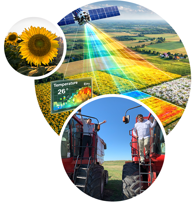
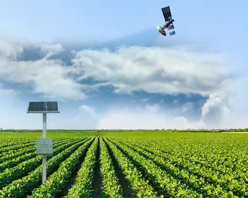
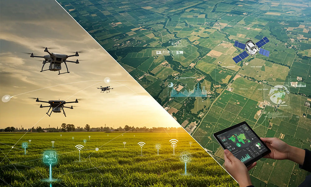
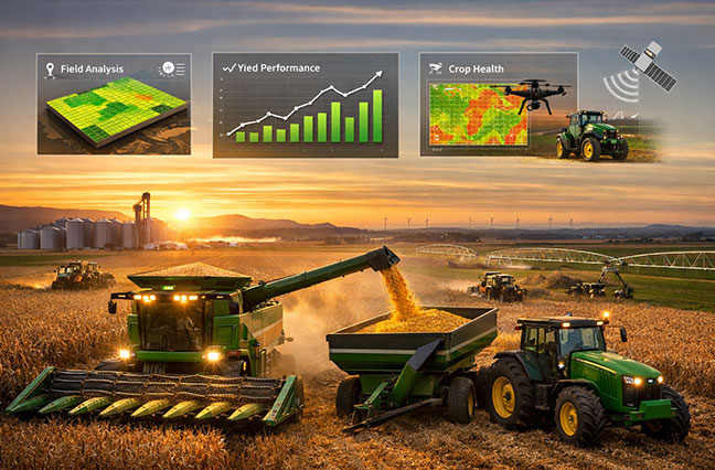
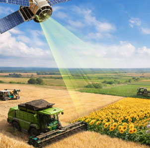
Geolytics agro is a digital farm management and geo-analytics platform designed for large scale farming operations. It integrates satellite monitoring, field execution tracking, agronomy intelligence, and operational planning into a single system.
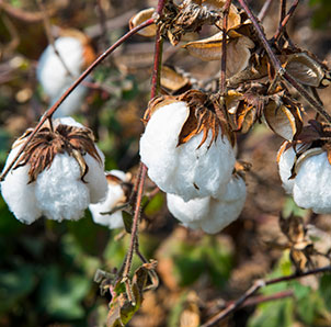
The platform enables farm managers to monitor crop growth, track operations, and make timely decisions across distributed agricultural land.
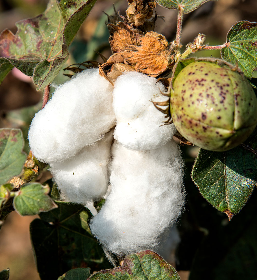
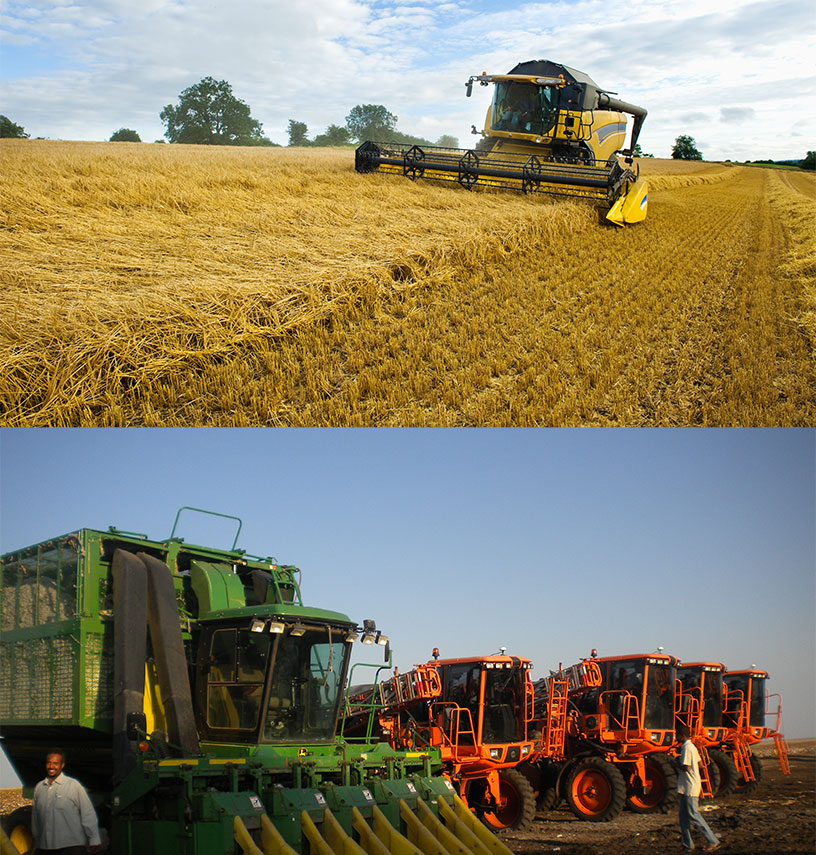
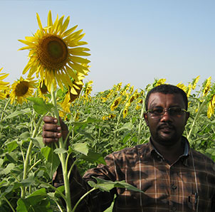
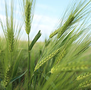
We provide monitoring of all crops, with advanced wheat, sunflower, and cotton crop management supported by satellite monitoring, delivering real-time insights, precision field tracking, improved productivity, optimized resource use, and data-driven agricultural decision-making solutions.
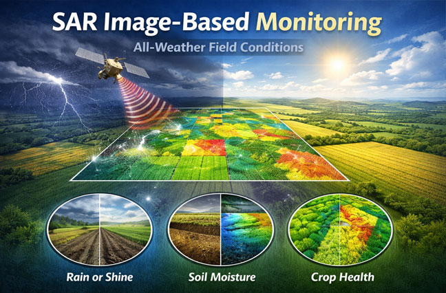
Most crop monitoring systems rely only on optical satellite imagery, which becomes unusable during cloudy periods.
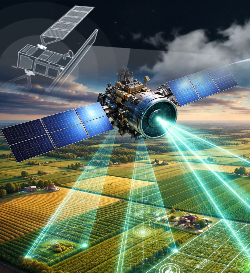
Geolytics agro integrates Synthetic Aperture Radar (SAR) satellite monitoring to ensure crop visibility in:
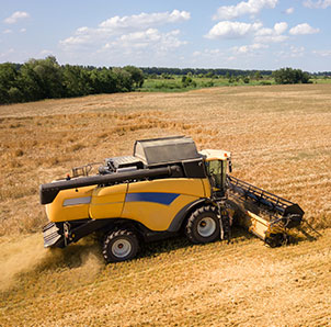
Our modules are designed and grouped for End-to-end farm workflow management powered by
satellite intelligence and enterprise-grade usability.
Planning the distribution of crops, equipment and seasonal work before field operations begin.
Digital control of field work, movement of personnel and equipment.
All-weather satellite monitoring using SAR and optical data to track crop health.
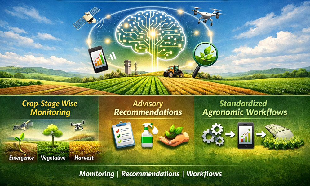
Monitoring growth stages, recommendations and standardized agronomic processes.
Accounting and distribution of agricultural machinery between projects.
Management of stocks, supplies and use of agricultural resources.
Control of cleaning deadlines, warehouse capacities and logistics.
Control panels and analytics of farm efficiency.
We are proud of our results
Country
Users
Hectare of land
Frequent cloud cover and early-season weather conditions often limit optical satellite monitoring in Northern Kazakhstan.
SAR satellites enable:
Geolytics agro combines SAR and optical data to ensure uninterrupted farm intelligence.